20 Resolution and Remote Sensing
Remote Sensing: Resolution
In remote sensing resolution refers to one’s ability to resolve (determine, identify, etc.) what is present in an image. There are four resolution types: spatial, spectral, radiometric, and temporal.
Spatial Resolution
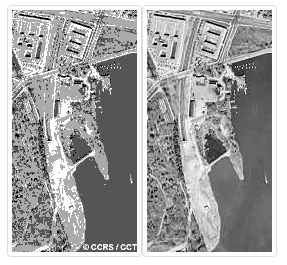
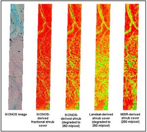
Spatial resolution refers to the smallest item that can be resolved visually or spectrally in an image. The extent to which something (of a certain size) can be resolved is directly related to the pixel size of of the image and sensing system
the multivariate nature of resolution is often conflated to spatial resolution.

Spectral Resolution
Radiometric Resolution